Important Notice
I am independent researcher unconnected to any institution. All the information on this website is provided for free.
However maintenance, research, and hiring servers costs a lot of money. So if you like the site and it is useful for you please consider to make a donation to keep it online.
All donations whatever ther amount, are welcome and help me to continue my work. Pay with your credit card, securely, via Paypal.
19th century sources
website of Jelle Verheij, historian
home | publications | pictures | historical pictures | travel snap shots | monuments | 19th century sources | research tools | links | contact
Important Notice
I am an independent researcher unconnected to any institution. All the information on this website is provided for free. However maintenance, research, and hiring servers costs a lot of money.
So if you like the site and it is useful for you please consider to make a donation to keep it online. All donations, no matter how small, are welcome and help me to continue my work.
Pay with your credit card, securely, via Paypal.

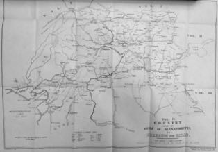
Route- and place descriptions for British military (1904)
Place descriptions and routes in the provinces of Adana, Erzurum, Haleb, Mamuretülaziz, Diyarbekir and Bitlis around 1900
source: Lieut.-Colonel F.R. Maunsell, Military Report on Eastern Turkey in Asia. Vol.IV - Middle Euphrates Valley. Country from the Gulf of Alexandretta towards Erzerum and Bitlis. Compiled for the Intelligence Department, War office. 1904
Click on the map to enlarge. For places coloured red the original place description by Maunsel is attached.
Warning: only for wide screens


Maps
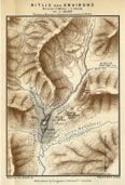
Bitlis
Map of Bitlis and environs
source: H.F.B. Lynch. Armenia. Travels and Studies (London, 1901) vol.2
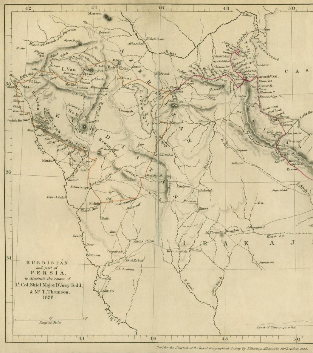
Some 19th century maps, from travel reports and archival sources
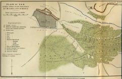
Van
Plan of Van based upon a plan published by M.P. Müller-Simonis
source: H.F.B. Lynch. Armenia. Travels and Studies (London, 1901) vol.2
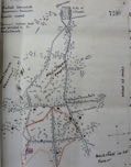

Van during the 1896 Armenian-Ottoman conflict
Sketch map of Van showing neighborhoods, foreign consulates and “principal houses held and fortified” by Armenian revolutionaries during the revolt in the Summer of 1896.
Drawn by British Vice-Consul in Van at the time, Major Williams (archival document, UK National Archives)
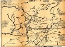
Sketch map of yearly migration routes of (semi)nomadic Kurdish tribes in the area south of Lake Van.
Source: Unknown Turkish report, 1960s or 1970s
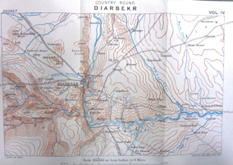
Diyarbekir and vicinity
Pre 1914 British military map (UK National Archives, London) of Diyarbakır and surroundings.
Source: Lieut.-Colonel F.R. Maunsell, Military Report on Eastern Turkey in Asia. Vol.IV - War office. 1904